IMS Snow and Ice Charts
The Interactive Multisensor Snow and Ice Mapping System (IMS) daily analysis of snow and ice produces a series of charts the cover specific regions in the Northern Hemisphere along with a chart covering the entire hemisphere.
Area
Description
Display / Format
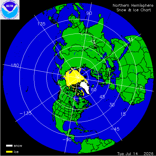
Northern Hemisphere Snow and Ice Chart
Daily chart that represents the current snow and ice conditions for the entire Northern Hemisphere.
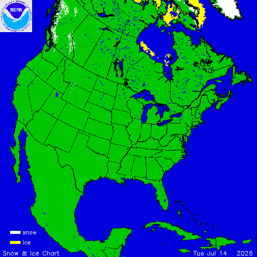
North America / USA Snow and Ice Chart
Daily chart that represents the current snow and ice conditions that concentrates on North America / USA region.
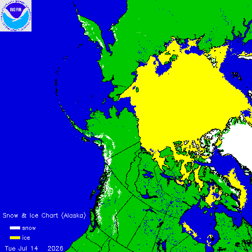
Alaska Snow and Ice Chart
Daily chart that represents the current snow and ice conditions that concentrates on Alaska, Northern Pacific and Arctic regions.
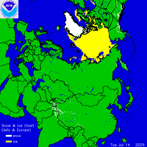
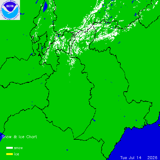
Asia / Europe Snow and Ice Chart
Daily chart that represents the current snow and ice conditions that concentrates on Asia, Europe, and Arctic regions.