IMS Snow and Ice Products
The Interactive Multisensor Snow and Ice Mapping System (IMS) is an operational software package used to demarcate the presence of snow and ice across the entire northern hemisphere. This software enables qualified analysts to access multiple sets of remotely sensed data in order to create and distribute 1 km resolution maps of snow and ice. The data is used for operational weather model initializations as well as other NOAA programs, and academic studies. The Digital Object Identifier for IMS information is 10.7265/N52R3PMC . Please visit our IMS information page or IMS Product Catalog to learn more.
Area
Description
Display / Format
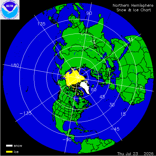
Northern Hemisphere Snow and Ice Chart
Daily chart that represents the current snow and ice conditions for the entire Northern Hemisphere.
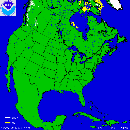
North America / USA Snow and Ice Chart
Daily chart that represents the current snow and ice conditions that concentrates on North America / USA region.
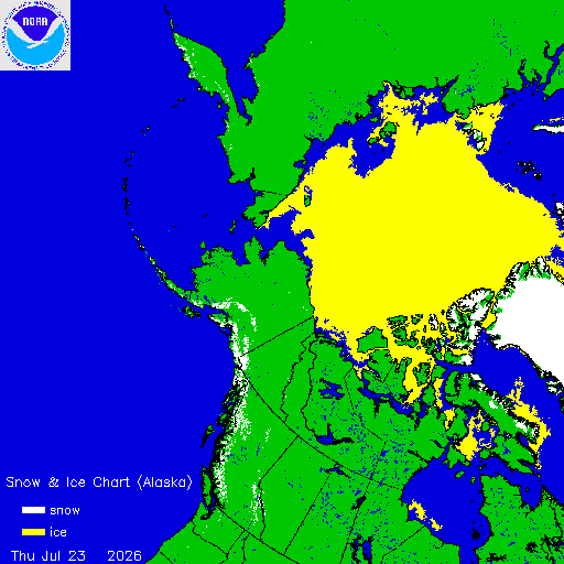
Alaska Snow and Ice Chart
Daily chart that represents the current snow and ice conditions that concentrates on Alaska, Northern Pacific and Arctic regions.
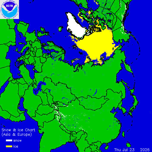
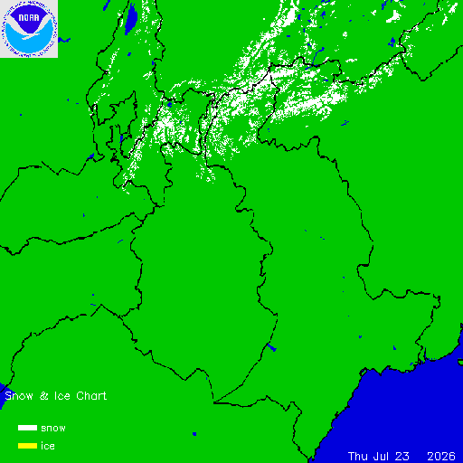
Asia / Europe Snow and Ice Chart
Daily chart that represents the current snow and ice conditions that concentrates on Asia, Europe, and Arctic regions.