IMS Data Support Files
The Interactive Multisensor Snow and Ice Mapping System (IMS) daily analysis of snow and ice generates various support files. Text and GRIB files for input into various platforms, and GeoTIFF files that allow the raster format to be viewed in GIS applications.
Area
Description
Display / Format
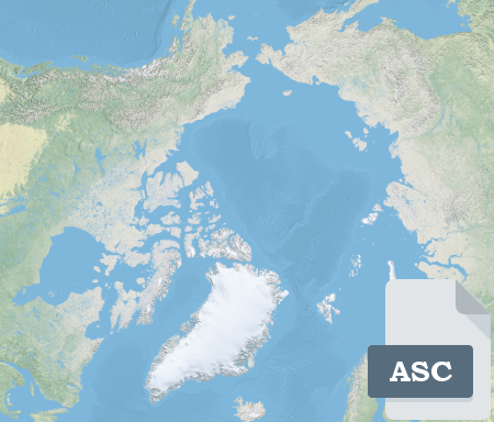
IMS ASC Files
A compressed ASC file that contains Northern Hemisphere snow and ice information based on daily IMS analysis. There are 3 files produced based on data resolution: 1KM, 4KM, and 24KM

IMS NetCDF Files
A compressed NetCDF file that contains Northern Hemisphere snow and ice information based on daily IMS analysis. There are 3 files produced based on data resolution: 1KM, 4KM, and 24KM

IMS GRIB Files
Compressed GRIB files that contains Northern Hemisphere snow, ice, and time information based on daily IMS analysis. There are multiple files produced based on information type and data resolution: Snow 1KM and 4KM, Ice 1KM and 4KM, Time 1KM.

IMS GeoTIFF Files
A compressed GeoTIFF file that contains Northern Hemisphere snow and information in a raster format that is based on daily IMS analysis. There are 2 files produced based on data resolution: 1KM and 4KM.