Mid-Atlantic KMZ File
When ice is present within the Mid-Atlantic region of the U.S., the U.S. National Ice Center conducts an ice analysis of the area and a KMZ file is produced detailing ice conditions.
Area
Description
Display / Format
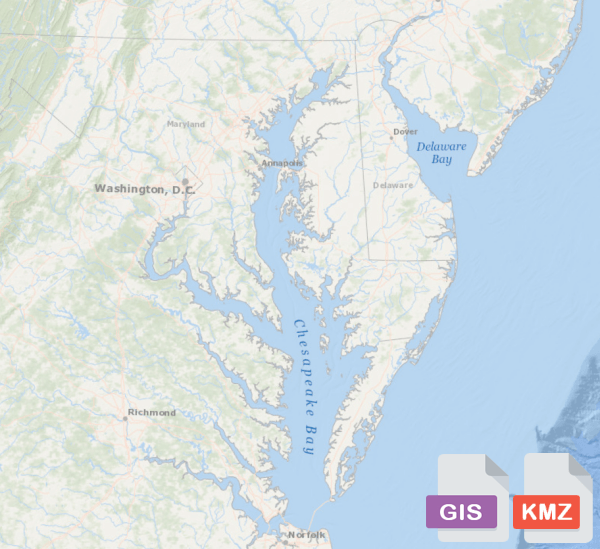
Mid-Atlantic GIS Shapefile and KMZ file
The Mid-Atlantic GIS shapefile and KMZ file are created off the USNIC Mid-Atlantic ice analysis, produced Monday-Friday during the ice seasion. The files contain SIGRID-3 information on ice conditions that are separated into total ice concentration and whether or not the ice is shore fastened.