Catalog Overview
Arctic Region
Antarctic Region
Great Lakes Region
Mid-Atlantic Region
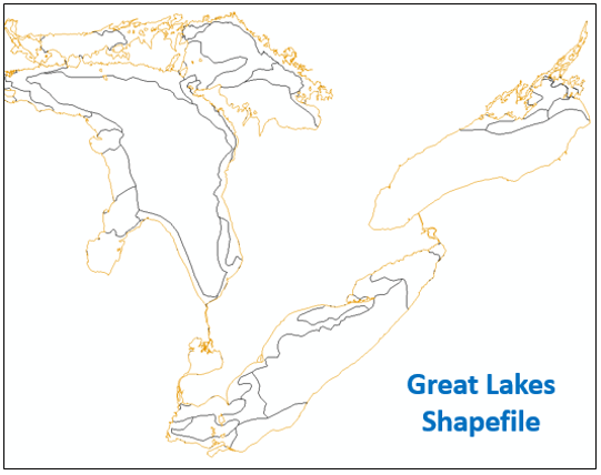
Great Lake GIS Shapefile
Product:
Great Lakes Shapefile
Description: A GIS format containing ice lines that separate areas of different total ice concentration, stage of development with respective ice concentrations, and ice floe size classifications.
Coverage Area: Great Lakes
Format: ZIP compressed, contains: SHP, DBF, SHX, PRJ, XML
Periodicity: Daily
Dissemination: USNIC Website, CIS Website