Catalog Overview
Arctic Region
Antarctic Region
Great Lakes Region
Mid-Atlantic Region
Antarctic Weekly GIS Shapefile
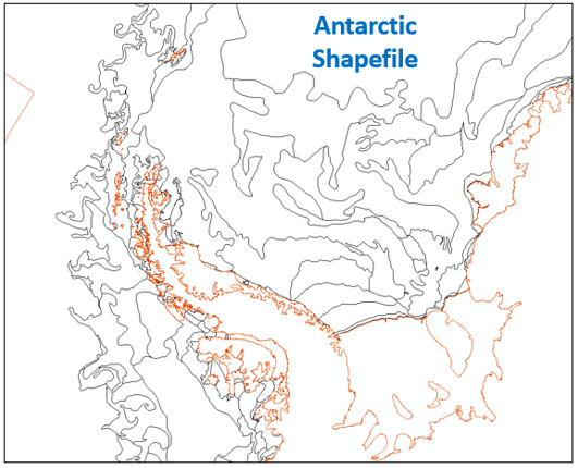
Product: Antarctic Shapefile
Description: A GIS shapefile that contains vector and attribute data that separates ice conditions based on total concentration, stage of development (ice types) with respective concentrations, and forms of ice
Coverage Area: Antarctic waters
Format: ZIP compressed, contains: SHP, DBF, SHX, PRJ, XML
Periodicity: Bi-Weekly on Friday
Dissemination: USNIC website, CTG 80.7 Portal, NEP-Oc IC Portal