Catalog Overview
Arctic Region
Antarctic Region
Great Lakes Region
Mid-Atlantic Region
Mid-Atlantic Shapefile
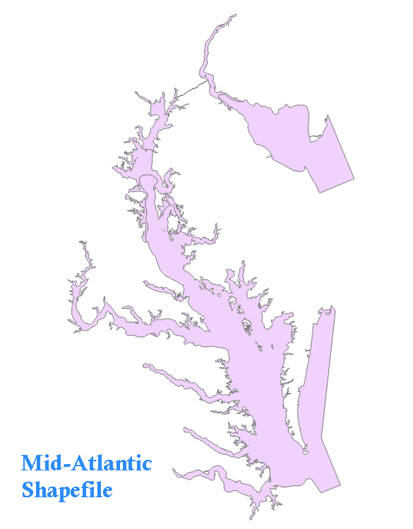
Product: Mid-Atlantic Shapefile GIS File
Description: A GIS format that contains analyzed ice lines and ice concentration.
Coverage Area: Chesapeake and Delaware Bays
Format: ZIP compressed, contains: SHP, DBF, SHX, PRJ, XML
Periodicity: Daily, when ice is present
Dissemination: USNIC Website